Published: Jan 11th, 2025
Implementing a Data-Driven Digital Wayfinding System for Smarter Urban Planning

Modern cities face increasingly complex challenges in navigation, infrastructure, and urban growth. Traditional approaches to city planning often fall short of addressing these dynamic needs. Enter data-driven digital wayfinding systems—solutions that combine real-time data, intelligent design, and seamless navigation to support smarter urban planning. These systems are transforming cities into connected hubs of efficiency and innovation.
Why Data-Driven Wayfinding is Essential for Urban Growth
Data has become the backbone of effective decision-making in urban planning. By integrating digital wayfinding systems equipped with real-time data collection and analysis, city planners can access invaluable insights about foot traffic, public transport usage, and peak activity times.
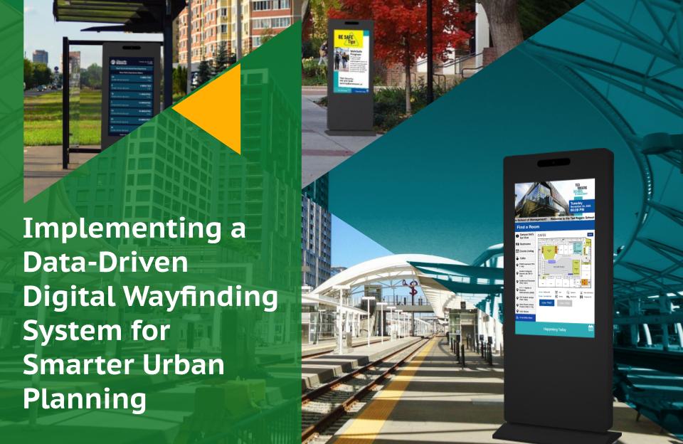
For example, a data-driven wayfinding kiosk at a busy transit hub can record the volume of commuters during rush hours, helping planners optimize transportation schedules and improve infrastructure. Additionally, wayfinding systems equipped with sensors can track pedestrian patterns in city parks, informing decisions about lighting, seating, and pathways.
This data not only aids in immediate planning but also helps forecast future needs, ensuring that cities evolve sustainably and intelligently.
Enhancing Navigation and Accessibility with Technology
One of the most visible impacts of data-driven wayfinding is improved navigation for residents and visitors. These systems offer:
- Real-Time Updates: Digital kiosks dynamically adjust maps and transit schedules based on current traffic, construction, or delays, ensuring users always have the most accurate information.
- Customizable Routes: Individuals can receive tailored navigation based on preferences like accessibility requirements or the fastest path to their destination.
- Multi-Language Support: For international visitors, wayfinding systems provide directions in multiple languages, enhancing inclusivity.
These features not only enhance the user experience but also contribute to the efficient functioning of urban spaces.
Data-Driven Insights for Smarter Infrastructure
Beyond navigation, wayfinding systems provide critical data that drives smarter infrastructure development. Cities can identify high-traffic zones and prioritize investments in these areas, such as building new pedestrian bridges or expanding transit options.
Moreover, heat maps generated from user interactions can reveal underutilized spaces, prompting creative solutions like pop-up shops or community events to maximize the value of urban areas. This approach ensures that every corner of a city contributes to its vibrancy and functionality.
Fostering Sustainability Through Data-Driven Planning
Sustainability is a key focus in urban development, and data-driven wayfinding systems support this goal in several ways. By analyzing transportation data, cities can reduce carbon footprints by optimizing bus routes, promoting carpooling, or enhancing bike-friendly pathways.
Additionally, many digital wayfinding systems are powered by renewable energy sources, further minimizing environmental impact. Cities can also use these systems to educate the public on sustainability initiatives, such as promoting recycling or water conservation programs, through interactive content displayed on kiosks.
Eflyn’s Role in Data-Driven Urban Planning
Eflyn’s digital wayfinding solutions are built to empower cities with advanced data collection, intuitive design, and user-friendly interfaces. Our systems feature:
- Cloud-Based Management: Seamlessly update content and analyze data from multiple kiosks across the city.
- Custom Analytics Dashboards: Gain actionable insights into user behavior and system performance.
- Robust Durability: Weatherproof and vandal-resistant designs ensure long-term reliability in any environment.
Eflyn’s commitment to innovation helps cities transition into smart, connected ecosystems that prioritize both functionality and sustainability.
Conclusion
Implementing a data-driven digital wayfinding system is more than a technological upgrade; it’s a strategic investment in smarter urban planning. These systems improve navigation, provide invaluable data for infrastructure development, and foster sustainable growth. By integrating real-time insights with user-friendly designs, cities can address modern challenges and prepare for future demands.
Eflyn is proud to be a part of this urban evolution. Explore how our data-driven wayfinding solutions can transform your city into a model of efficiency and innovation.
Contact us today to learn more about bringing smarter wayfinding to your urban planning projects!
